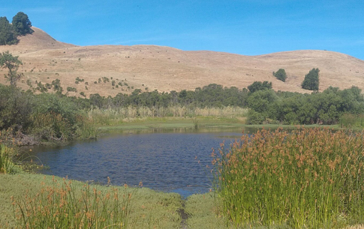
A first-of-its-kind analysis of satellite imagery and field data by Professor Iryna Dronova offers important insight into ecosystem management, modeling of climate and land-use changes, and distribution of wetland plant species.
Plant diversity in wetland ecosystems—which helps store carbon and protect against flooding—plays a key role in improving biomass stability across seasons, according to a first-of-its-kind analysis of satellite imagery and field data collected at more than 1,000 wetland sites across the United States.
Published July 22 in Science Advances, Iryna Dronova—professor in the Department of Environmental Science, Policy, and Management and first author of the Berkeley-led study—said the findings offer important insight into ecosystem management, modeling of climate and land-use changes, and distribution of wetland plant species.
According to Dronova, prior studies have generally defined wetland stability as an ecosystem’s ability to persist in the same state and maintain its biodiversity over time. Observations often revolve around how “very small pieces of land or individual plant species” respond to changes in climate and the environment.
But recent improvements to the collection of remote satellite imagery open the door for large-scale studies designed to explore biodiversity as one of the factors that helps drive wetland stability.
“Satellite data provides such a great cost-effective way of monitoring the stability of biomass and aggregate vegetation indicators in the landscape, but we haven't linked that to the role biodiversity plays within these plant communities,” said Dronova, who is also a professor in the Department of Landscape Architecture & Environmental Planning. “This is what our study is trying to do."
To better determine the role biodiversity plays in promoting seasonal stability, Dronova and the study’s co-authors used biological, chemical, and physical data collected by the U.S. Environmental Protection Agency’s National Wetland Condition Assessment (NWCA) survey along with remote imagery collected by satellites. Integrating the NWCA data into their methodology was essential to control for other factors affecting seasonal stability, like climate, hydrology, and local site conditions said Dronova.
This type of blended approach can provide a new perspective on the relationship between biodiversity and seasonal stability in critically important wetland ecosystems, according to Dronova.
“Our study expands the knowledge from previously studied biomes to wetlands and shows how strategically combining field and remote sensing data can offer new ways of studying these complex, important, vulnerable systems,” she said. “The results highlight the potentially important stabilizing role of wetland biodiversity that deserves more attention and should be studied more closely in the future.”
Two of Dronova’s former graduate students—Sophie Taddeo, ’19 PhD landscape architecture and environmental planning; and Kendall Harris, ’21 MA in landscape architecture and environmental planning—contributed to the study.
Dronova’s research was supported by a New (Early Career) Investigator grant from the National Aeronautics and Space Administration (NASA).
