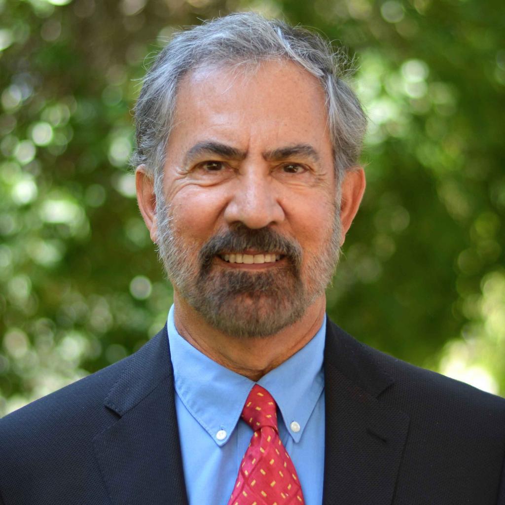
Adjunct Professor
Adjunct Professor
- UC Berkeley, UC Davis, PhD
Remote sensing, image processing
Khorram, Siamak, Van Der Wiele, C, and Yuan, H., In Press, Development of a modified neural network-based land cover classification system using automated data selector and multi-resolution remotely sensed data, Journal of Geocarto International, 24p.
Khorram, S., S.A.C. Nelson, H.I. Cakir, C. Van Der Wiele. In Press, Digital Image Acquisition, Preprocessing, and Data Reduction. In Handbook of Satellite Applications, 2nd ed. Editors Pelton, Joseph N., Madry, Scott, Camacho-Lara, Sergio. Springer-Verlag. New York City, New York.
Khorram, S., S.A.C. Nelson, H.I. Cakir, C. Van Der Wiele. In Press, Digital Image Processing, Post-processing, and Data Integration. In Handbook of Satellite Applications, 2nd ed. Editors Pelton, Joseph N., Madry, Scott, Camacho-Lara, Sergio. Springer-Verlag. New York City, New York
Hester, D. B., S. A. C. Nelson, H. I. Cakir, and S. Khorram. In Press. Analysis of impervious surface and suburban form using high spatial resolution satellite imagery. In Environmental Informatics Series (II): Advances of Environmental Remote Sensing to Monitor Global Changes. Ed. Ni-Bin Chang. Taylor & Francis Group/CRC Press.
Karthik Krish, Stuart Heinrich, Wesley E Snyder, Halil Cakir, Siamak Khorram, 2009, Global Registration of Overlapping Images Using Accumulative Image Features, Journal of Pattern Recognition Letters, Institute for Electrical and Electronics Engineers, (IEEE), PATREC-D-08-00160R2
Yuan, H., Van Der Wiele, and Khorram, S. 2009, An automated artificial neural network system for land use/land cover classification from Landsat TM imagery, Journal of Remote Sensing, Open Source, Switzerland, ISS 2072-4292, 20p.
Hester, D. B., H. I. Cakir, S. A. C. Nelson, S. Khorram, and H. Cheshire, 2009, High-resolution land cover change detection based on fuzzy uncertainty analysis and change reasoning. International Journal of Remote Sensing. 31(2): 455 - 475.
Cakir, H. I. and S. Khorram. 2008. Correspondence Analysis Fusion, Photogrammetric Engineering & Remote Sensing. 74(2):183–192.
Hester, D. B., H. I. Cakir, S. A. C. Nelson, and S. Khorram, 2008. Per-pixel classification of high spatial resolution satellite imagery for urban land cover mapping, Photogrammetric Engineering & Remote Sensing, 74(4): 463-471.
Cakir, H. I., Khorram, S., & Nelson, S. A. 2006, Correspondence Analysis Approach for Detecting Land Use Land Cover Changes, Remote Sensing of Environment. 102(3-4): 306-317 (Top 25 Hottest Article).
Morisette, J.T. and S. Khorram, 2003, Exact Confidence Interval for Proportions, Photogrammetric Engineering and Remote Sensing, 66(7):875-880.
Dai, X. and S. Khorram. 1999, "Data Fusion using Artificial Neural Networks: A Case Study on Multitemporal Image Analysis," Journal of Computers, Environment and Urban Systems, vol 23, pp. 19-31.
Khorram, S., G.S. Biging, N.R. Chrisman, D.R. Colby, R.G. Congalton, J.E. Dobson, R.L. Ferguson, M.F. Goodchild, J.R. Jensen, and T.H. Mace, 1999, Monograph, “Accuracy Assessment of Remote Sensing-Derived Change Detection,” American Society of Photogrammetry, 78 p.
Ediriwickrema, D.J., and S. Khorram. 1997, “Hierarchical Maximum Likelihood Classification for Improved Accuracies.” IEEE Transactions on Geoscience and Remote Sensing, 35(4):810-816.
Khorram, S., 1985, "Development of Water Quality Models Applicable Throughout the Entire San Francisco Bay and Delta," Photogrammetric Engineering and Remote Sensing, Vol. 51, No. 1, pp. 53-62.
Khorram, S., and E.F. Katibah. 1984, "Vegetation Mapping of Wildland Areas Using Landsat Digital Data,", Journal of Forest Science, SAF, Vol. 30, No. 1, pp. 248-258.
Biography
Dr. Khorram is a Professor of Remote Sensing and Image processing. He received a MS. in Engineering and another MS in Ecology from the University of California (UC) at Davis. He received a Ph.D. under a joint program from the University of California at Berkeley and Davis with emphasis on Remote Sensing and Image processing.
From 1976 to 1980, he served as the Principal Scientist at the Space Sciences Laboratory at the University of California in Berkeley. In 1980, he joined the faculty in North Carolina State University (NCSU) in Forestry and Environmental Resources and in Electrical and Computer Engineering departments. He has served as the Principal Investigator for well over 60 major research projects. His research projects have focused on remote sensing, image processing, and geospatial information technology.
In 1982, he established the Computer Graphics Center (CGC) at NCSU as a university-wide officially recognized center involved in research and training in spatial information technology and special purpose computing. In 1997, he changed the name of CGC to the Center for Earth Observation (CEO) with the same mission. He has served as the Founding Director of CGC and CEO since its inception until 2011. Him and his colleagues are in the process of changing the name from CEO to the Center for Geospatial Sciences.
In 1986 and 87, he served as a NASA-ASEE Fellow at NASA Ames Research Center and as a summer faculty at Stanford University, California.
Since 1988, he has concurrently served as a faculty member at the International Space University (ISU). In 1995 and 96, he served as the first Dean and Vice President for Academic Programs at ISU in Strasbourg, France. Subsequent to his position as the Dean, Dr. Khorram served as the Principal Advisor to the President in 96. Afterwards, he has served as the Chair of the Academic Council and the Chair of the ISU’s 23 Affiliates Campuses Network worldwide.
He currently serves as a member of the University’s Board of Trustees.
He holds patents (pending final approval) in Data Fusion techniques as applied to imagery from various payloads and platforms. He has served as the Major Professor for over 30 Ph.D. and MS students. He is the author of over 200 publications in peer-reviewed journals, conference proceedings, and major technical reports. He is a member of several professional and scientific societies. He has taught undergraduate and graduate courses as well as short-courses and workshops in remote sensing, photogammetry, and digital image processing.
He has delivered Keynote speeches in the International Symposium on Computers and Communications in 2008 in Morocco and 2010 in Italy.


